 |
| Image from tfl.gov.uk |
I've completed the London section of the Lea Valley Walk now and I'm pondering a 14ish mile extension to Hertford, but I haven't made a final decision about that yet.
In the meantime, I started on the Capital Ring a few weeks ago. This circular walk starts at Woolwich and finishes at North Woolwich on opposite banks of the Thames; the two are linked by the Woolwich Free Ferry and the Woolwich Tunnel. I live north of the river and I used the tunnel when I walked the Jubilee Greenway last year, so this time I picked the ferry for my crossing.
There are actually two of them, the James Newman and the Ernest Bevin, and it's a busy service taking vehicles between the North Circular and the South Circular. However (judging from my single crossing) it would appear that not many foot passengers use the ferry since there were only two of us in a space that would easily have held 100 or more. I had a free choice of seat and positioned myself where I could see out through one of the openings.

Having disembarked, I headed west, towards London; the first part of the Capital Ring shares its route with both the Thames Path and the Jubilee Greenway. I passed the old Woolwich Dockyard, with a couple of cannons marking the old battery.

The Dockyard's been replaced by housing, but the Superintendent's House remains, now a community centre.

I turned inland before reaching the Thames Barrier (built to protect London from flooding)

and split off from both the Thames Path and the Jubilee Greenway to enter Maryon Park, joining the Green Chain Walk (marked in green on the map above) instead. The Green Chain is a network of paths that link parks and woodlands in south east London, and that's what I'd be doing today.

Maryon Park first, where I climbed 115 steps up a hill

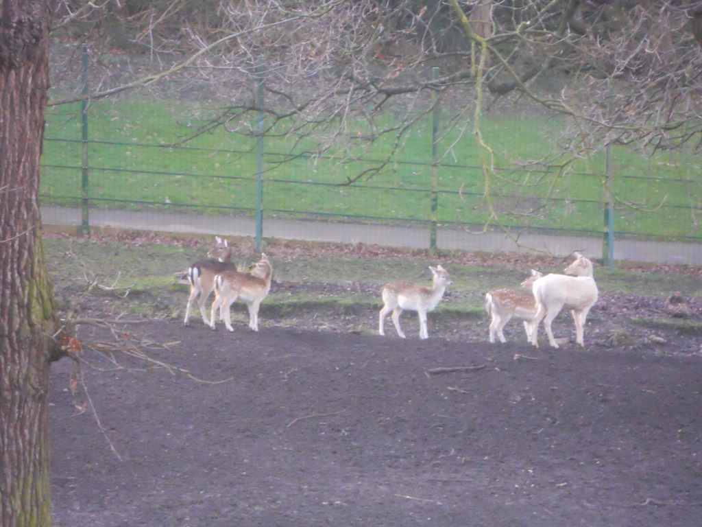
without even the reward of a good view from the top. I crossed over the road into Maryon Wilson Park and descended past the animals in the children's zoo.

I followed the path through the park,

and then on into Charlton Park, with Charlton House (ex-home of the Maryon Wilson family and now another community centre).

A bit of road walking brought me to the open space of Woolwich Common, with views of a Victorian water tower which has been converted to flats.

Heading over the common, the grass/mud path briefly became a concrete path,
and went back to mud once I turned right towards Shooters Hill.

Over another road, onto Eltham Common and into a series of woods, parts of which date back 8000 years to the last ice age. First up was Castle Wood, and another climb

which brought me out by Severndroog Castle.

This triangular folly was built as a memorial to Commodore Sir William James who'd suppressed piracy in India while employed by the East India Company. There's a tearoom here, and I think you can climb the tower, but not if you visit on a Tuesday in winter.
Having climbed up the hill, I had to go down again, through the formal rose gardens of Castlewood House.

I followed the path through Jack Wood and emerged near the former gardens of Jackwood House.

Both Castlewood House and Jackwood House were demolished in the 1920s, with their land being bought by the London County Council and added to the existing public open space.
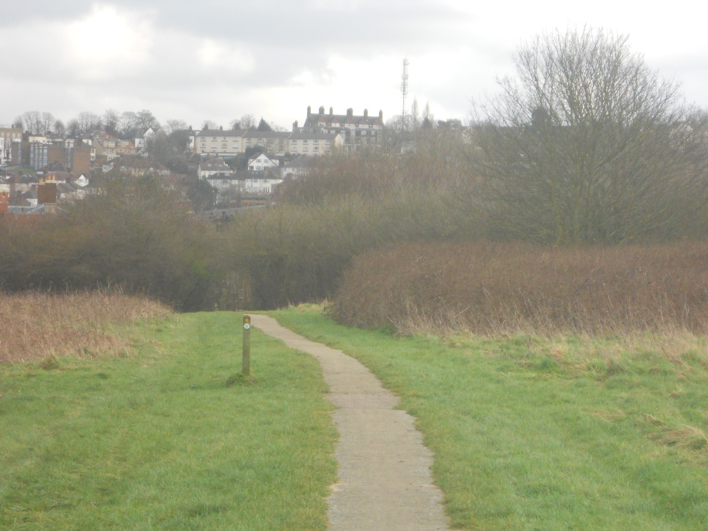
Another short stretch of woodland path brought me to Oxleas Meadows; the grass covers an underground reservoir used by Thames Water.

According to the sign-post, I'd walked 4.75 miles so far, and I had 1.5 to go. Eltham Palace is 3.25 miles (on the next walk) and Richmond Bridge is 30 miles away (sometime in the summer).
I followed another muddy path downhill through Oxleas Wood. There's clay in the mud there, and for the first time I began to fear slipping over as the clay sucked at my feet and provided no grip whatsoever. Things were no better at the bottom of the hill; the narrow muddy path turned into a wide muddy path and I picked my way through the undergrowth just off the path as an alternative.

Oxleas Wood becomes Shepherdleas Wood (and part of Eltham Park North), and the path took a circuitous route to pass the Long Pond, which used to be a boating lake.

Finally I arrived at the A2, a dual carriageway that cuts Eltham Park in two. Next time I'll be crossing over the footbridge to continue my journey, but today I was heading for Falconwood station and the trains home.
No comments:
Post a Comment